

")
New route from Villa Verucchio to Ponte Santa Maria Maddalena - Detour, see this page
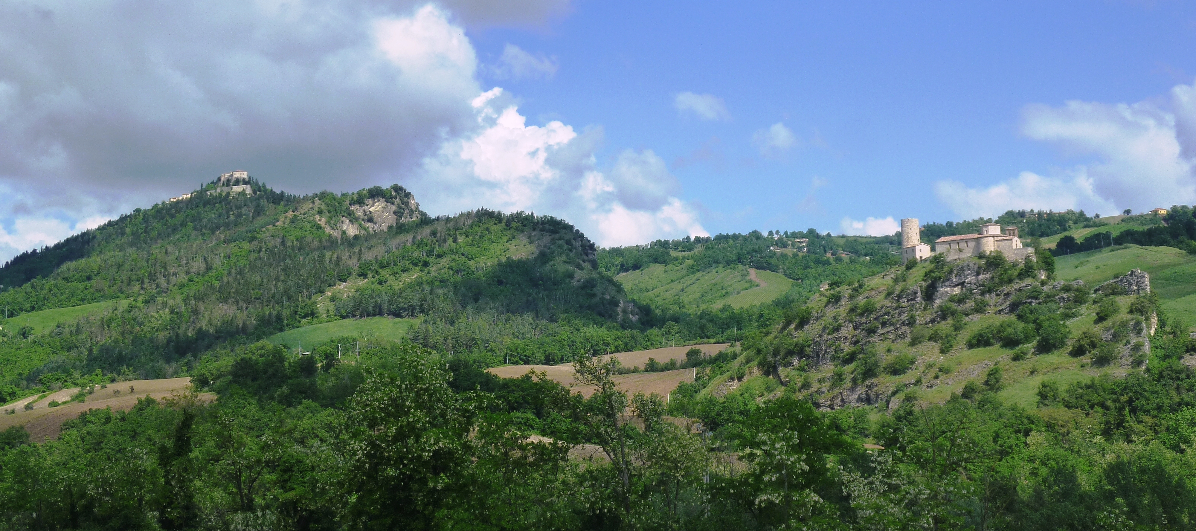
Leaving behind the more anthropized part of the route, this stage leads to San Leo, the place that inspired the Way and one of the most visited villages in the Montefeltro area.
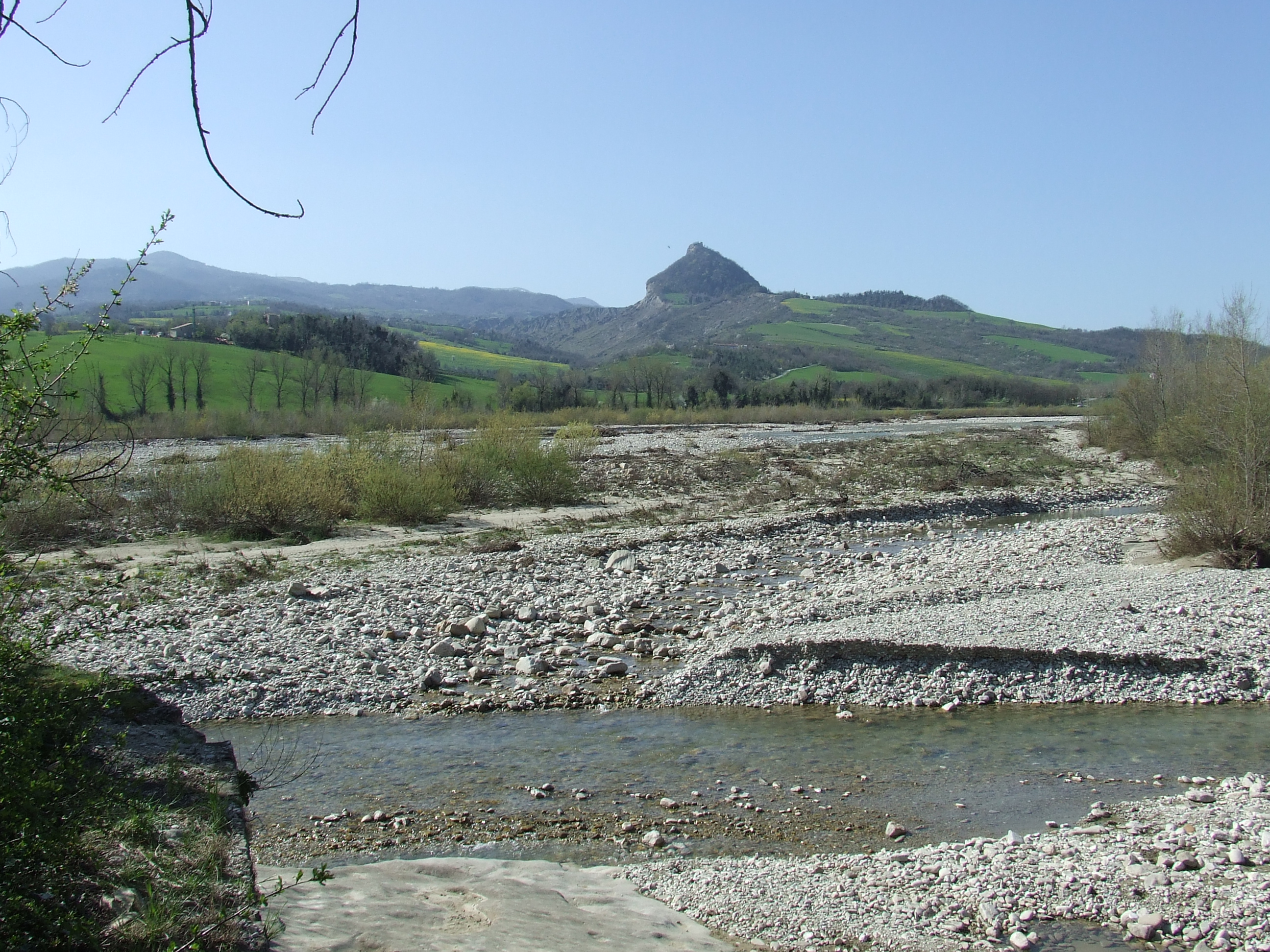
From the Monastery of Santa Croce, we reach the beautiful historic town of Verucchio, which stands on a rocky promontory overlooking the Marecchia Valley and is dominated by the Malatesta fortress. A secondary road leads downhill to the Marecchia River and follows it for several kilometres along a dirt track. In summer, having reached the cliff of Madonna di Saiano, it is worth taking advantage of the small mobile bridge to ford the river, and making a short diversion to climb to the small hermitage before returning.
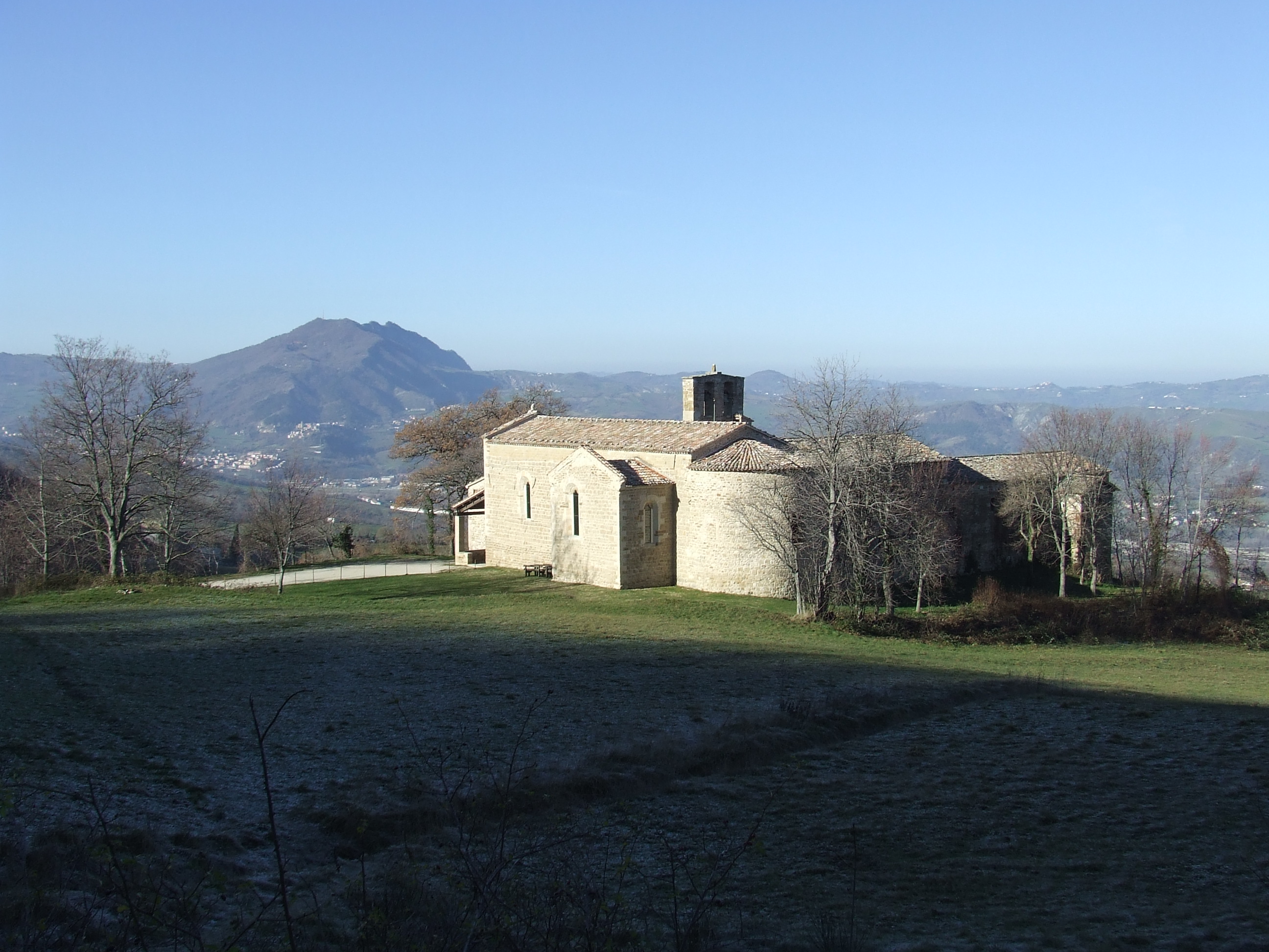
From Ponte Santa Maria Maddalena, we leave the valley floor again and climb along country lanes, surrounded by the landscape of the middle and upper valley. We reach the ancient Monastery of Sant’Igne, built on the site where Francis and Brother Leo bivouacked the night before entering San Leo, and thus an obligatory stop for pilgrims.
Another couple of kilometres and we reach San Leo, with spectacular views of the cliff and the mighty fortress.
New route from Villa Verucchio to Ponte Santa Maria Maddalena
In the first half of the stage, the new route reduces the asphalt sections overall and proceeds in a more natural environment, with very panoramic views along the winter variant.
After passing the cemetery of Villa Verucchio, after 100 meters you arrive at the SP 15 where the change begins (Photo 1).
Those following the Camino towards La Verna and intending to pass through Verucchio will find the detour sign here.
Download GPS track
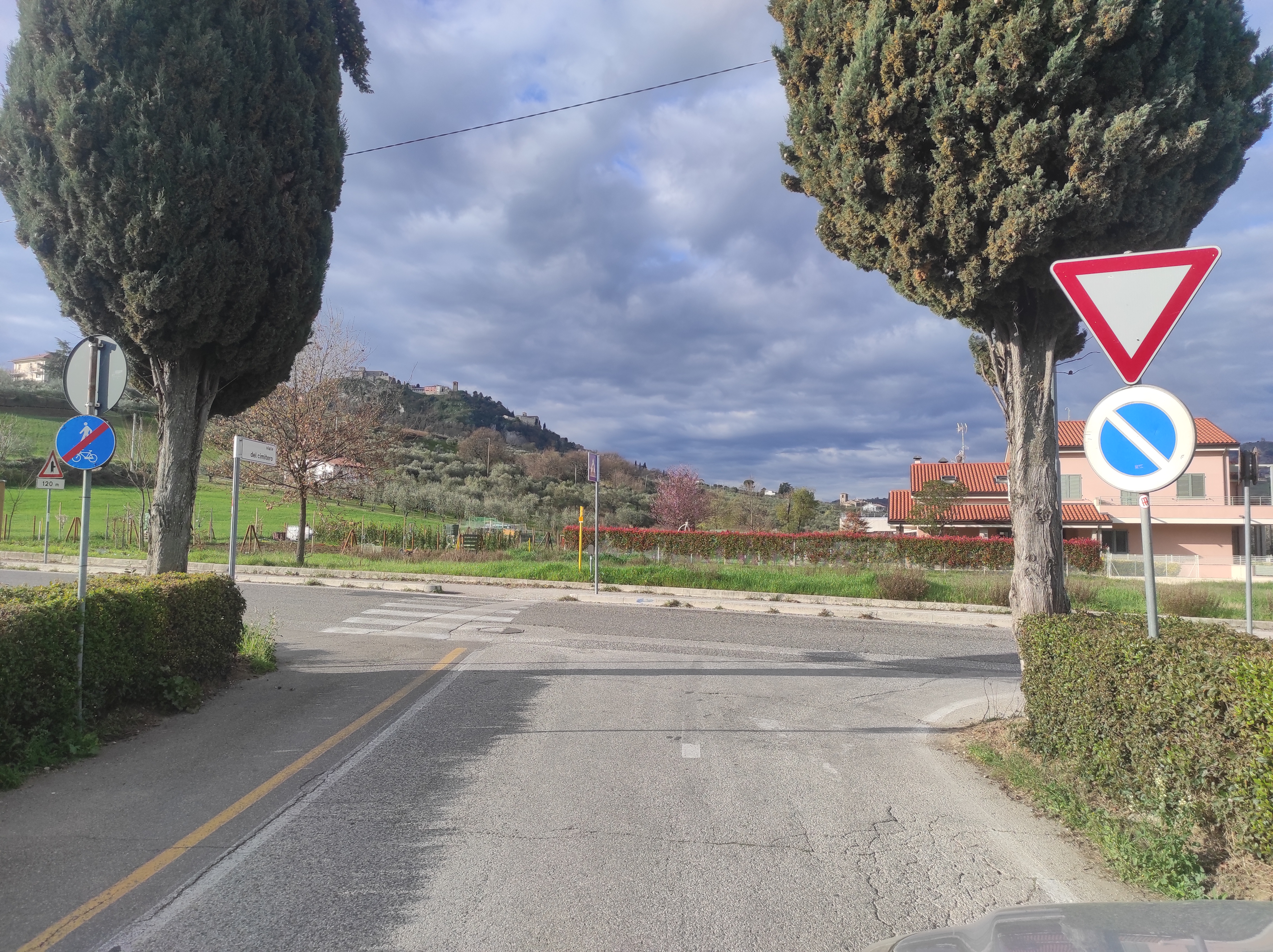 Photo 1
Detour to Verucchio
Follow the original route until you exit the town center, where Via Viggiolo joins Via Borgo. Here, turn right and, after a few dozen meters, at a votive shrine, take a steep left downhill that ends on Via Budrio. Turn right and continue downhill for about 900 meters; after crossing the bridge over the SS Marecchiese state road, leave the road and descend onto a dirt road that allows you to cut around a wide hairpin bend. Returning to Via Budrio, continue downhill, quickly reaching Via Ponte below. Taking the sidewalk on the right, you'll reach the bridge over the Marecchia; to safely cross the road, go past a roundabout and cross the road at the pedestrian crossing, returning to the bridge and joining the route from Villa Verucchio.
For those not going up to Verucchio, turn right at the fork after the cemetery (Photo 1).
You immediately reach the S.S. Marecchiese and cross it at the pedestrian crossing continuing in the direction of the mountain. After passing the parking lot of a supermarket, continue on the parallel Via Ponte uninterruptedly until the bridge over the river thanks to which you pass to the other bank. At the end of the bridge, cross the road continuing keeping left on Via Palazzo. Follow it for about 800 m. until you find the entrance to a cycle path on the left. The cycle path ends at the intersection with the road and after about 500 m you reach the Saiano mill (ruin on the right).
Here you find a fork between the summer and winter paths (follow the arrows indicating which direction to take - photo 2).
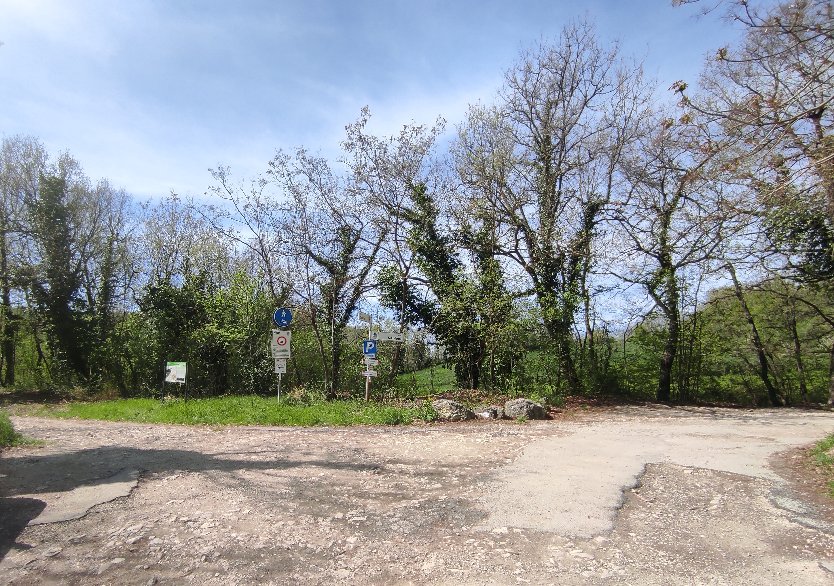 Photo 2
Summer route (with the presence of the mobile bridge at the ford of the Saiano mill) Download GPS Step 2 in Summer.
Turn left on the path that runs alongside the river, until you reach the mobile bridge that allows fording in the less rainy months, returning to the right bank and resuming the original route.
Compared to the previous route, this change shortens the stage by about 2.6 km, reducing the positive difference in altitude by about 130 m and the asphalt sections by 2.5 km.
Winter route (in the absence of the mobile bridge at the ford of the Saiano mill) Download GPS Step 2 in Winter
Compared to the main route, the stage is extended by about 1.1 km, the difference in altitude increases by 270 m. and the asphalt sections decrease by about 700 m.
Take the dirt road on the right that goes up towards Montebello (via Sabioni) and follow it continuously until it ends at a crossroads below the village of Montebello. Here, take the track on the left (Via Rontagnano) that, after a house, curves to the right and continues up the ridge dividing the Valmarecchia and the Uso valley (the view of this stretch repays the effort of the climb). After about 1.5 km, after passing some ruins, at a crossroads, take a right (Photo 3).
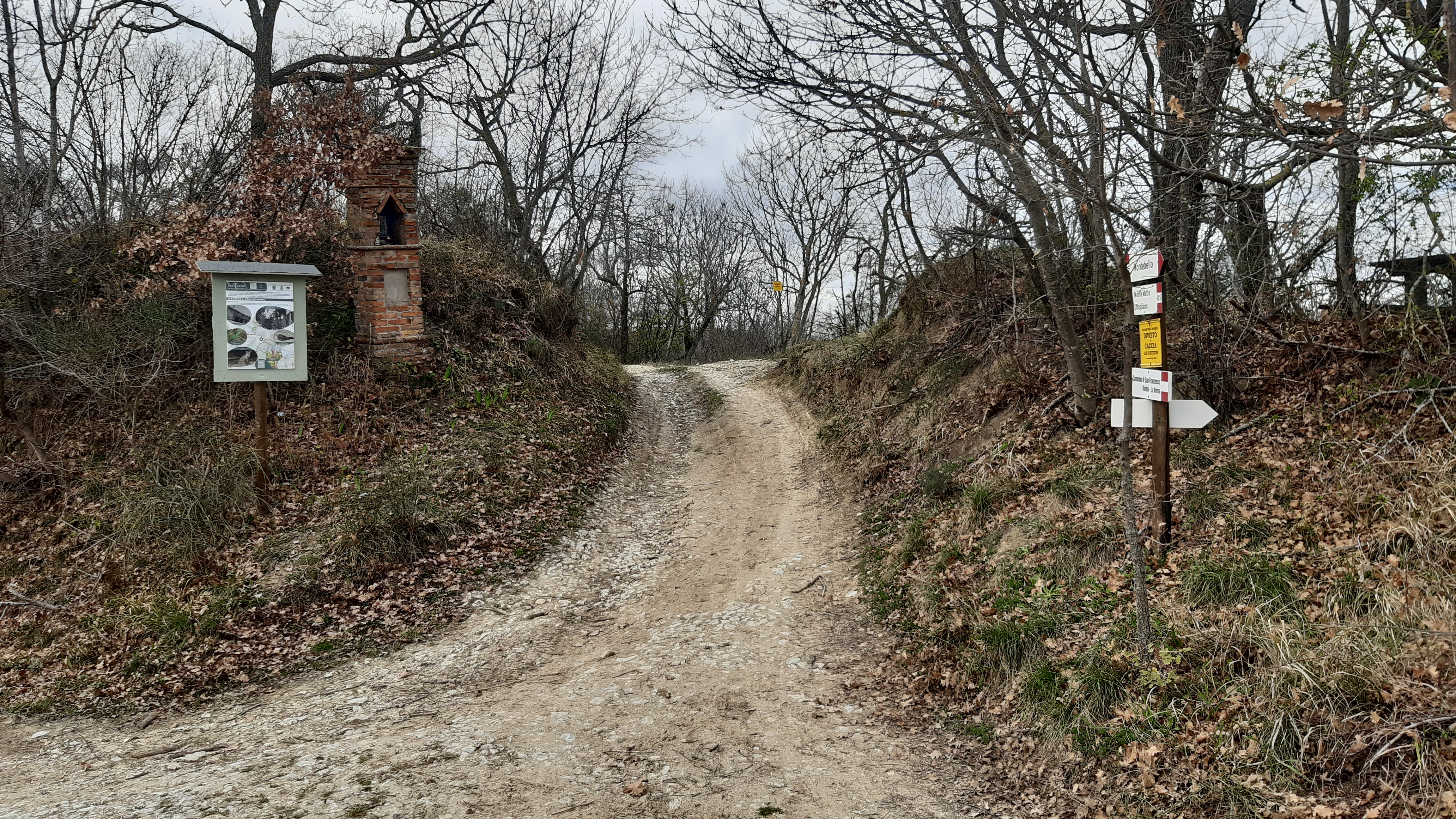 Photo 3
Follow the dirt road for about 400 m until you reach the crossroads for Ca' Migliorino. Keep left and continue for another 400 m until you come across a narrow path on the left that goes up to Monte Matto (Photo 4).
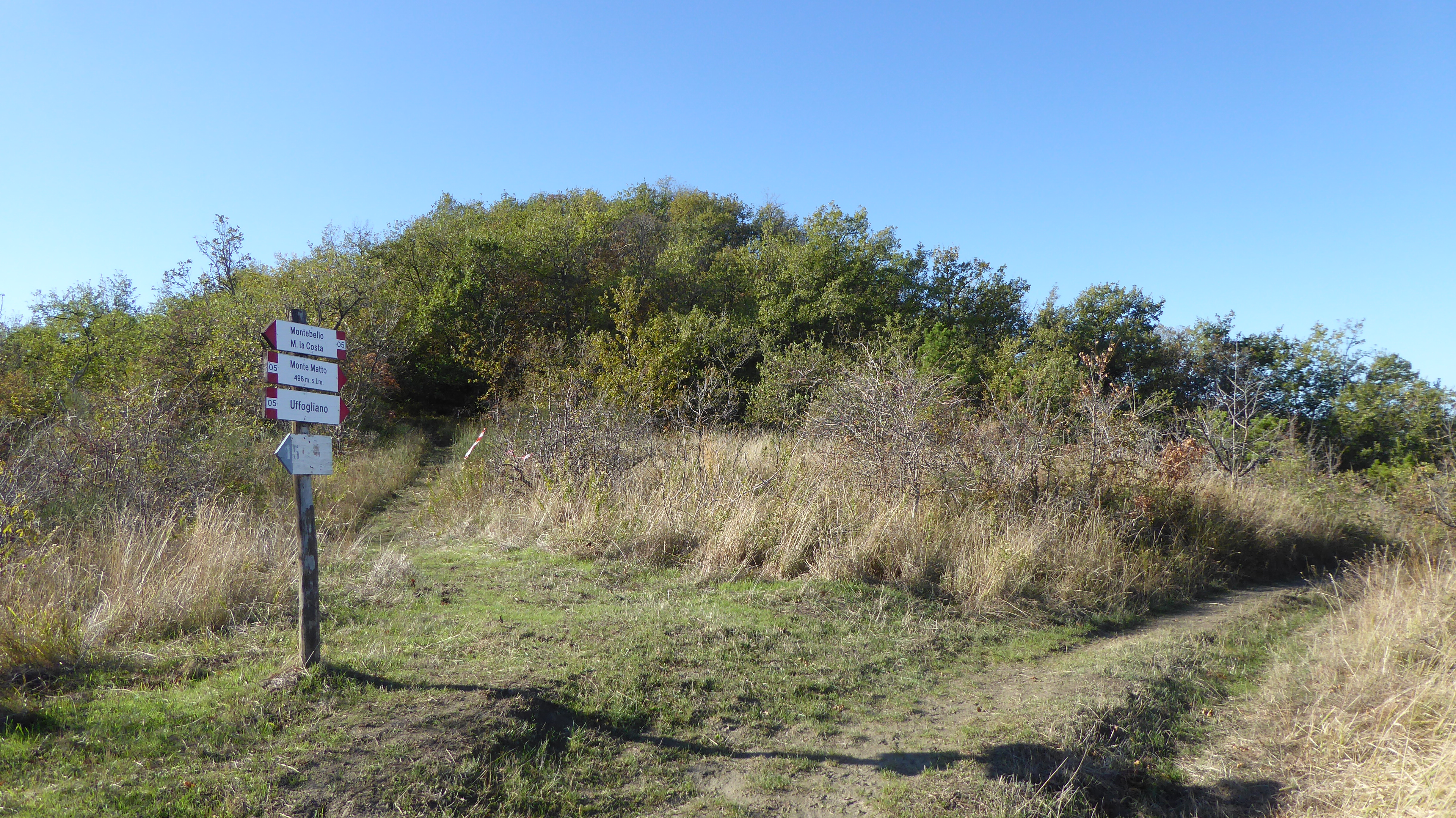 Photo 4
Keep to the right and after a hundred meters you descend quite steeply on clayey ground, which requires a lot of attention in case of rain, and then climb just as steeply. Another hundred meters and you find another narrow path that comes from the left. Continue straight and after another 400 m you exit the scrub, you follow the ridge with a wide panorama of the Uso valley on the right until you leave it after about 500 m to take the path that descends to the left. You cross a path from the right and continue straight and after about 200 m you reach the town of La Valle.
Once you reach the town of La Valle, take a path on the left that after a hundred meters curves to the right, descending through the fields to the underlying Cà Bigoncio. Ignore the turn to the right of the dirt road, proceed straight past the houses beyond which there is a fork that you take to the left.
The path descends into the woods to Cà Cipriano, on a stony surface, be very careful. Once you reach the houses, continue on the asphalt road that in 0.5 km reaches via Uffogliano where you turn left downhill. After passing a farm, you reach a hairpin bend to the right that you can cut by going down a steep road between the houses. Once back on the main road, you reach the bridge on the SS Marecchiese where you rejoin the original route.
Download GPS track