


")
UPDATE THE ROUTE
FIRST STAGE RIMINI VILLA - VERUCCHIO
Due to an interruption on the natural trail along the Marecchia river, it is necessary to take the easier detour described below, which is 1 km longer than the official one. Follow the detour described in this link.
Download the GPS track: GPX format - KML format
FOURTH STAGE SANT'AGATA FELTRIA - BALZE
After the crossroads for Scavolo follow the MTB route; 500 m. after the town of Palazzo you return to the official route. Download the GPS track: GPX format or KML format
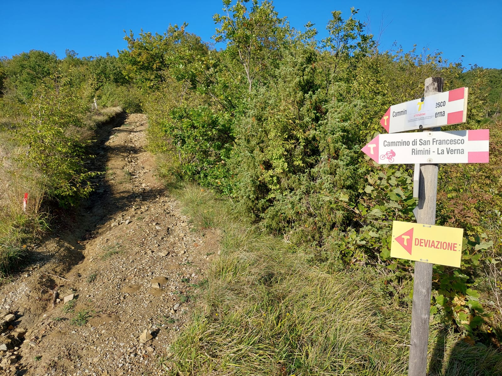
WARNING FOR MTB
The Alfero-Balze provincial road, recommended for less experienced cyclists as an alternative to the Eremo Sant'Alberico-Balze section, is blocked in the final section due to a landslide. Once you reach the Eremo di Sant'Alberico, we recommend continuing along the path, possibly dismounting on the most challenging sections.